House history reports
Know the history of the house before you buy it.
Every assessed value, ownership change and building permit we can find, the FEMA flood zone measured across the lot, and thirty years of aerial photos. Gathered from public records into one report.
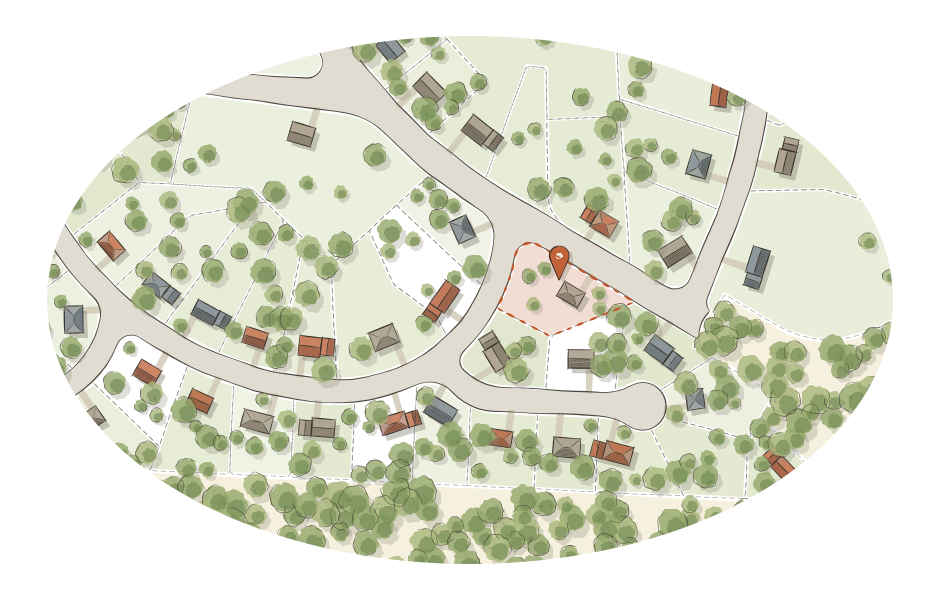
The preview shows how much we hold on this house, not the records themselves. The full report shows every value, owner change, sale and permit, with the source of each fact.
Tract changes
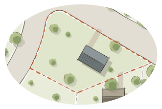
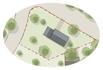
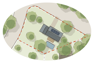
Thirty years of the same lot
States and the USDA have photographed the land from the air again and again for decades. Your report lines those photographs up over the lot, so you can see when the garage went up, when the pool went in, and what used to stand there.
What's in the report
Everything the public record holds on one house
- 01
Value history
Every assessed value we hold, year by year, with the jumps explained where a permit or a town-wide revaluation accounts for them.
- 02
Ownership and sales
When the house changed hands, recorded sale prices, and transfers that happened without a sale.
- 03
Building permits
Every permit pulled on the property, with descriptions and declared costs. Boston, Cambridge and Worcester today.
- 04
Flood zone
How much of the lot sits inside FEMA's mapped flood zones, measured from the official map rather than a yes or no.
- 05
Thirty years from above
Aerial photos of the lot from the 1990s to today, with the lot lines drawn over every frame.
- 06
Every fact sourced
Each line cites the public record it came from, so you can check it or hand it to your agent or attorney.